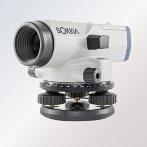
Digital Level
Read moreThe Digital Level is a high-precision survey instrument designed for accurate height and elevation measurements in surveying, construction, and civil engineering projects. Featuring advanced digital technology, this instrument provides quick readings, automatic error detection, and high measurement accuracy, ensuring reliable results in the field.

Digital Planimeter
Read moreThe Digital Planimeter is a modern survey instrument designed for precise area measurement of maps, drawings, and blueprints. It features a digital display that ensures fast and accurate readings, making it ideal for surveyors, engineers, and architects who require reliable data for land measurement and project planning.
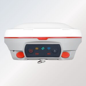
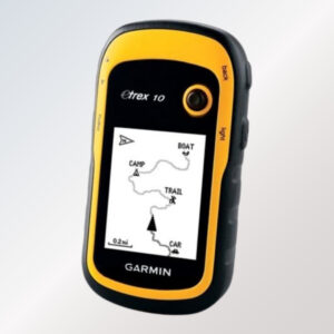
GNSS Receiver
Read moreOur GNSS Receiver is a high-precision positioning instrument engineered to deliver accurate, real-time data for land surveying, mapping, construction, and geospatial applications. Using multi-constellation satellite tracking technology (GPS, GLONASS, GALILEO, BEIDOU), it ensures superior signal reception and fast initialization even in challenging environments such as urban canyons, dense forests, and remote project sites.
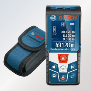
Laser Distance Meter
Read moreThe Bosch Laser Distance Meter is a fantastic tool for increasing efficiency and assisting with proper distance measurement with just a few button presses. The Bosch Laser Distance Meter allows you to accurately calculate the distance in any environment by pointing the laser at the desired target.
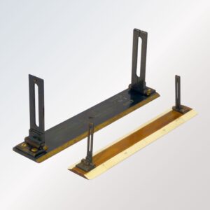
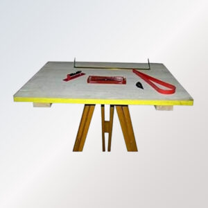
Plain Alidade
Read moreThe Plain Alidade is a traditional and reliable mapping instrument used for plane table surveying, topographic mapping, and field charting. Designed with a flat ruler and sight vanes, it enables accurate plotting of directions and angles on survey sheets directly at the job site. Its simple yet highly effective design provides fast alignment and smooth field operation for surveyors, civil engineers, and mapping professionals.

Prism Pole
Read moreGlobeTrek Engineering Corporation is a trusted Manufacturer, Supplier Exporter of Civil Engineering & Scientific Laboratory Equipment. We are one of the Few Indian organizations which constantly working with the Goal to developed Most advance Testing Equipment’s in India which match the International Quality.
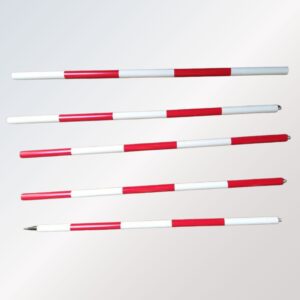
Ranging Rod
Read moreThe Ranging Rod is a vital surveying instrument used for marking positions, aligning survey lines, and establishing measuring points in land surveying and construction works. These rods are crafted from high-quality steel/fiberglass, ensuring durability, lightweight handling, and long-term outdoor use.
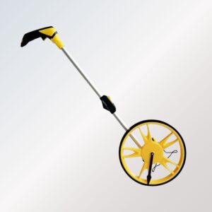
Rodometer
Read moreThe Rodometer is a practical and high-accuracy distance measuring tool widely used in land surveying, road construction, civil engineering, and mapping applications. Designed with a durable measuring wheel and an easy-to-read counter, it allows surveyors to measure long distances quickly and efficiently on any terrain.
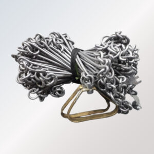
Survey Chain
Read moreGlobetrek Engineering Corporation is one of the Few Indian organizations which constantly working with the Goal to developed most advance Survey Instruments in India . Chain survey/surveying is a very old method of Surveying. The chain survey is the simplest method of surveying. In the chain survey, only measurements are taken in the field, and the rest work, such as plotting calculation, etc. are done in the office. Here only linear measurements are made i.e. no angular measurements are made.
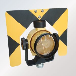
Survey Prism
Read moreThe Survey Prism is a precision optical accessory designed for accurate distance measurement and positioning in land surveying and construction applications. It works seamlessly with Total Stations, ensuring clear signal reflection for highly accurate surveying results even over long distances.
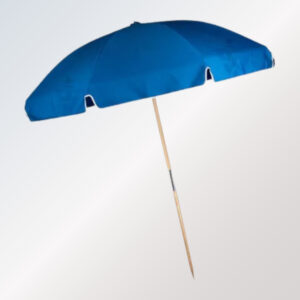
Survey Umbrella
Read moreThe Survey Umbrella is a must-have survey instrument accessory designed to protect surveying equipment and operators from harsh weather conditions such as sun, rain, and wind during fieldwork. Made from high-quality, waterproof, and UV-resistant fabric, this umbrella ensures long-lasting durability and superior protection in outdoor environments.
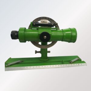
Telescopic Alidade
Read moreThe Telescopic Alidade is a precision surveying instrument designed for accurate plotting, mapping, and topographic surveying work. It features a high-quality telescope mounted on a stable base, allowing surveyors to measure angles, trace directions, and align mapping details directly on plane table sheets in the field.
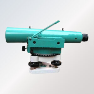
Tilting Level
Read moreThe Tilting Level is a high-precision survey instrument designed for accurate leveling, alignment, and angle measurement in surveying and civil engineering applications. Featuring a tiltable telescope, it allows quick and fine adjustments for enhanced accuracy over long distances. This instrument is ideal for construction surveys, topographical mapping, and road alignment works, ensuring consistent and reliable results on every project.

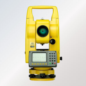
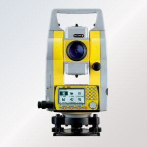
Transit Vernier Theodolite
Read moreThe Transit Vernier Theodolite is a classic and highly reliable surveying instrument designed for precise horizontal and vertical angle measurement in various civil engineering and land surveying applications. Known for its rugged construction and high accuracy, this theodolite is widely used in construction projects, road alignment, mining surveys, topographical mapping, and layout work.
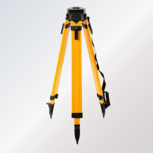
Tripod Stand
Read moreThe Tripod Stand is a sturdy and reliable survey instrument accessory designed to provide stable support for levels, theodolites, total stations, and other surveying equipment. Made from high-quality aluminum or wooden materials, this tripod ensures durability, precision alignment, and vibration-free performance during field operations.